Travel Guide of Rural de Anaga Park in Spain by Influencers and Travelers
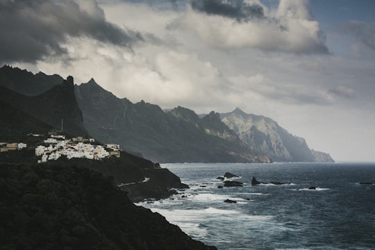
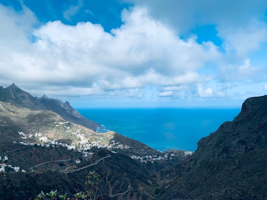
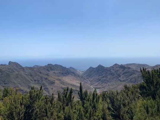
Macizo de Anaga is a mountain range in the northeastern part of the island of Tenerife in the Canary Islands. The highest point is 1,024 m. It stretches from the Punta de Anaga in the northeast to Cruz del Carmen in the southwest.
Download the Travel Map of Spain on Google Maps here
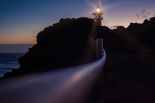
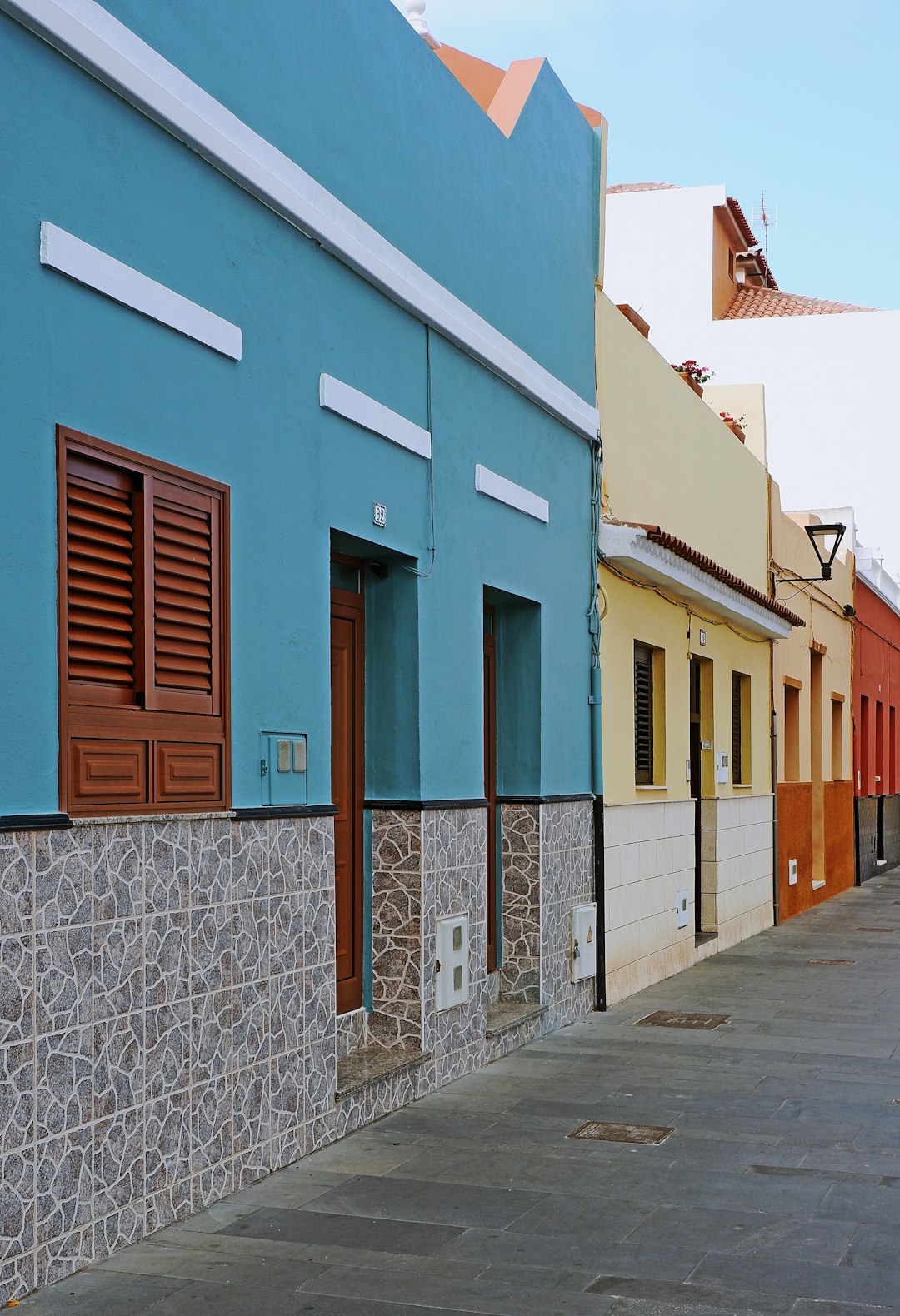
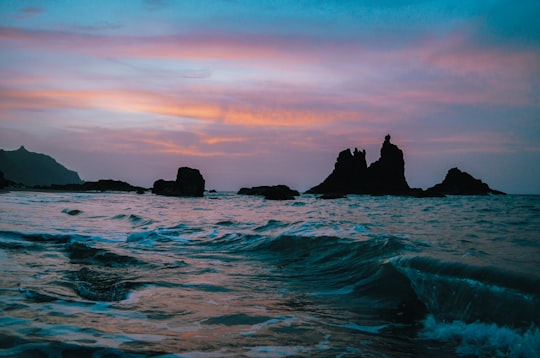
Pictures and Stories of Rural de Anaga Park from Influencers
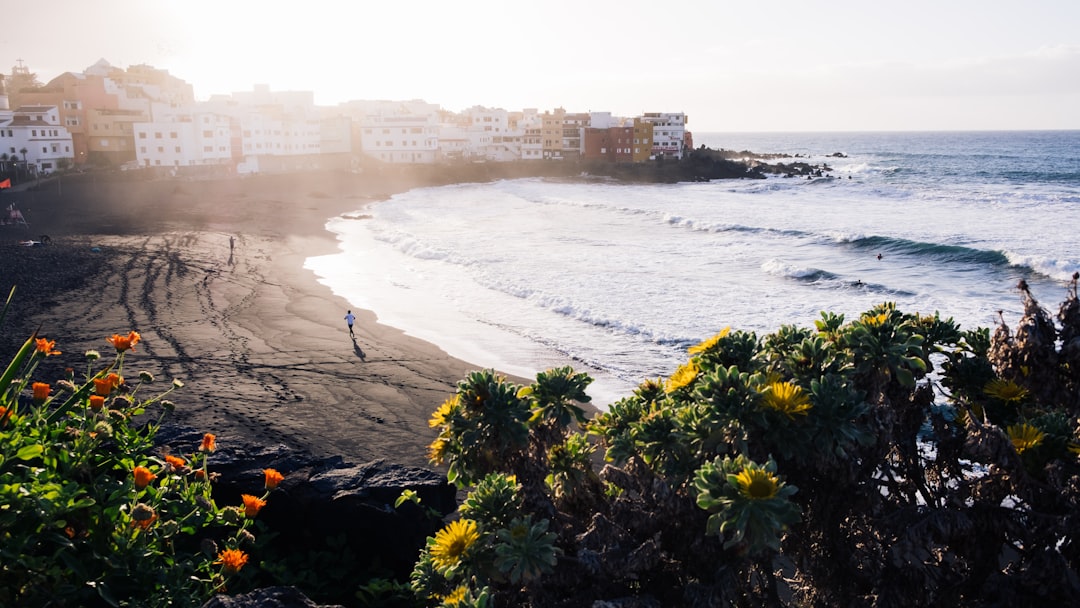
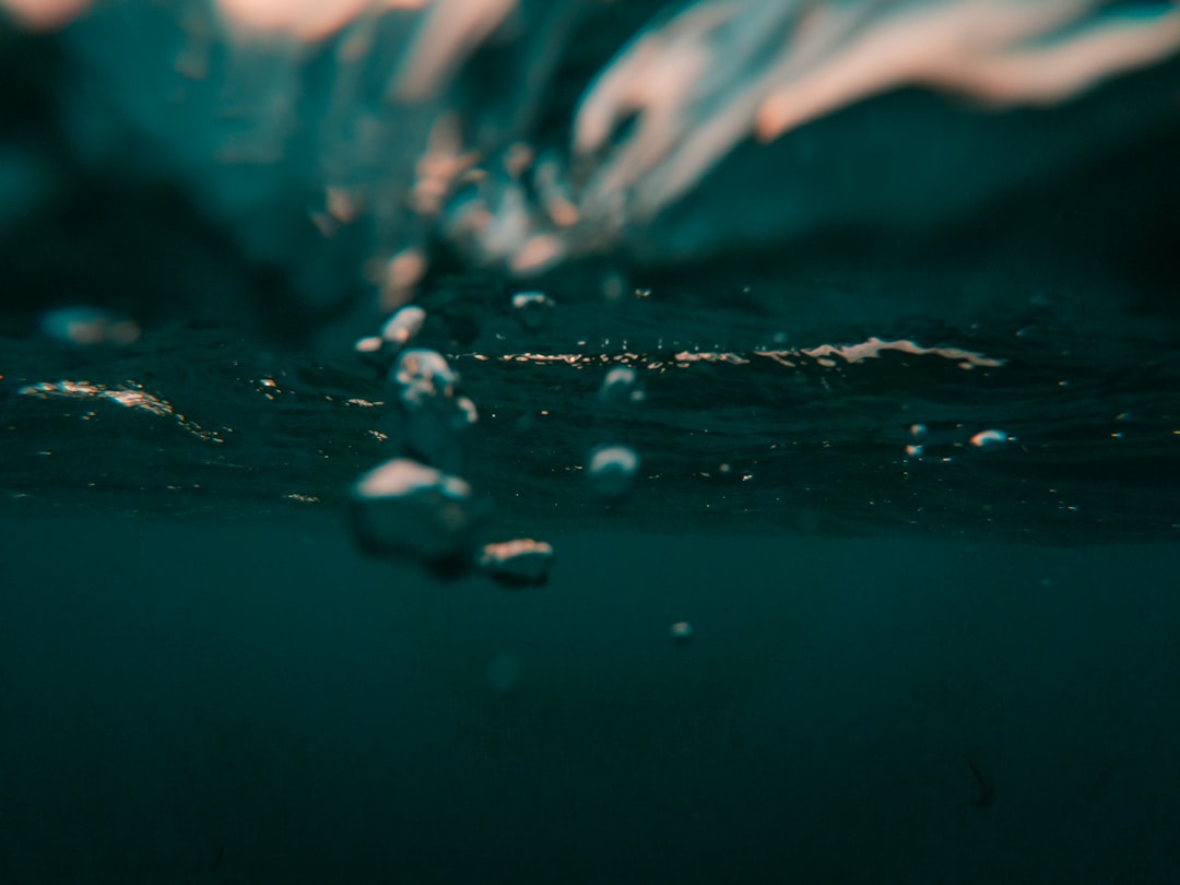
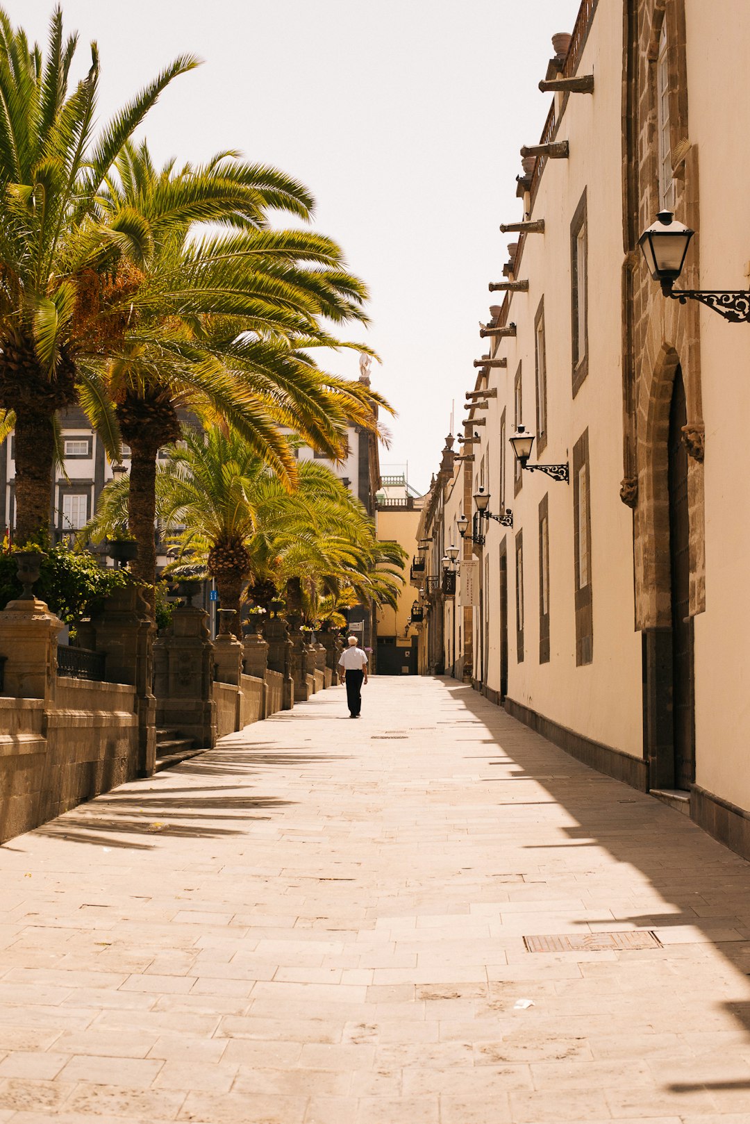
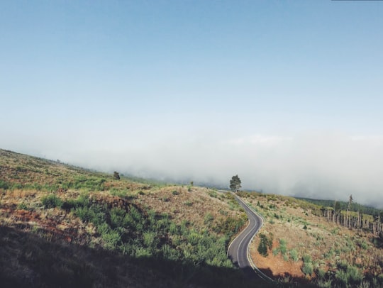
4 pictures of Rural de Anaga Park from Fabio Jock, Cristian Palmer, Pika Žvan and other travelers
Plan your trip in Rural de Anaga Park with AI 🤖 🗺
Roadtrips.ai is a AI powered trip planner that you can use to generate a customized trip itinerary for any destination in Spain in just one clickJust write your activities preferences, budget and number of days travelling and our artificial intelligence will do the rest for you
👉 Use the AI Trip Planner
Book your Travel Experience at Rural de Anaga Park
Discover the best tours and activities around Rural de Anaga Park, Spain and book your travel experience today with our booking partners
Map of Rural de Anaga Park
View Rural de Anaga Park on a map with the the closest popular places nearby
Download On Google Maps 🗺️📲
More Travel spots to explore around Rural de Anaga Park
Click on the pictures to learn more about the places and to get directions
Discover more travel spots to explore around Rural de Anaga Park
Where to Stay near Rural de Anaga Park
Discover the best hotels around Rural de Anaga Park, Spain and book your stay today with our booking partner booking.com
Popular destinations near Rural de Anaga Park
Disover the best Instagram Spots around Rural de Anaga Park here
Puerto de la Cruz
36 km (22.1 miles) away from Rural de Anaga Park
Travel guide of Puerto de la Cruz